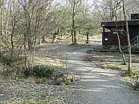
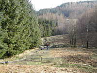
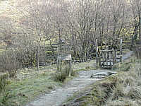
The path starts up the hill, bearing right. This is an old view showing the public toilets which have now been moved
...and on up through birch trees.
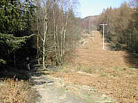
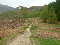
The picture on the right shows a new crossing track and, since the felling of the forestry in 2007, new views towards Ptarmigan.
The path becomes less steep for a while, but here the track often becomes rather muddy
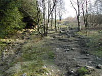
On the right is the same view after the trees had been felled in 2007
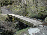
We cross a small wooden bridge through some trees.
| map |
Soon after coming out into the open again I spotted the first primrose of the year
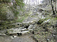
After passing through the darkest part of the path where the trees are thick on both sides, the next section is probably the most tricky on the hill. It ascends with steep steps which end with an even steeper rocky section, but it doesn't last for long. The path is then easier. Early in 2006 there was damage by gales just beyond this point
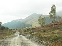
About half an hour after setting out we come to a gate which leads onto the open hill. From this point we have a good view of the summit to the right and Ptarmigan to the left
| map |